Loading…
All projects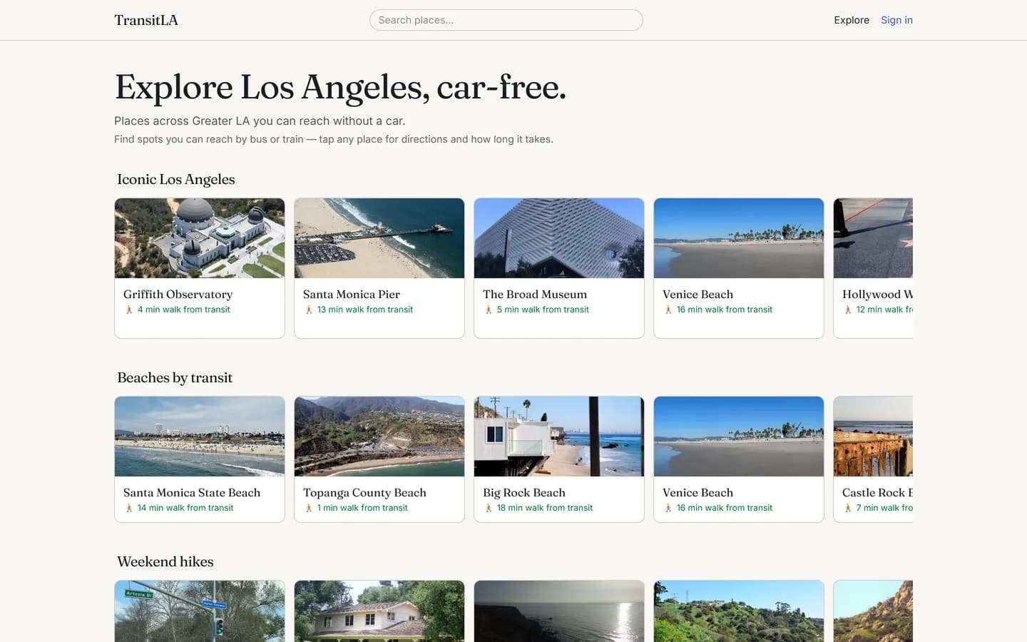
TransitLA
Launched PrivateA web app for discovering places across Greater LA — beaches, hikes, date courses — reachable without a car. I built the full data pipeline (GTFS ingestion, OSM scraping, PostGIS reachability scoring) and ran a self-hosted OpenTripPlanner 2 instance for live multimodal routing. To keep recommendations honest I reconciled straight-line 'nearest stop' estimates against the real router from multiple origins, and deployed the whole thing through a GitHub Actions CI/CD pipeline on Docker.
TypeScriptNext.jsPostgreSQLPostGISDrizzle ORMMapLibre GLOpenTripPlanner 2DockerPlaywright